Devon County Council has recently made its environmental datasets available online in map format! As well as information on landscapes, ecology, flood risk, public access and planning, they include lots of historic environment information, including monuments on the Devon Historic Environment Record and events that have identified or affected the historic environment. Also included are places that have been designated in order to help protect their special qualities: internationally important world heritage sites and nationally important scheduled monuments, listed buildings, registered parks and gardens and protected wrecks. At a more local scale are the conservation areas, locally listed sites and places that could form part of a green infrastructure network. The mapped results of specific projects like Historic Landscape Characterisation and National Mapping Programme (aerial survey) can also be viewed.
The datasets that we are adding to will be updated periodically; you can contact us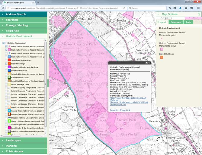 to ask when the last update was or to comment on this facility.
The viewer can be accessed here. Please read the disclaimer carefully before accepting. Instructions for using the viewer can be found in the help page (by clicking on the question mark in the top right corner).