Unpacking the digital layer that supports DRIP’s work to improve flood response times and deliver the data-driven insights needed for future resilience
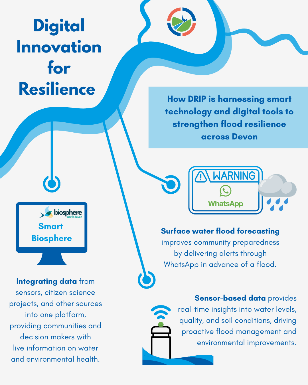
Across Devon, DRIP and our project partners are pioneering an array of digital and technological tools designed to help communities, land managers, planners, and environmental stewards better prepare for the challenges of a changing climate. DRIP is a multi-faceted project, bringing together elements including nature‑based solutions for flood management, property flood resilience, and community empowerment. Alongside these sits technology and data. This digital layer of the project works to improve flood response times, deepen our understanding of natural processes and the pressures they face, and connect people with timely, accessible information. As the project evolves, DRIP will continue to trial and refine these innovations, ensuring that digital tools and data become a widespread, everyday resource for building a more climate and flood ready future – one where communities feel empowered and the health of our natural environment is championed.
The innovations being trialled range from smart water and environmental sensors and an integrated, publicly accessible data platform to a new surface water flood forecasting system. Curious about the digital innovations DRIP is trialling? Let’s take a closer look.
Digital and technological innovations across DRIP
- Smart water and environmental sensors
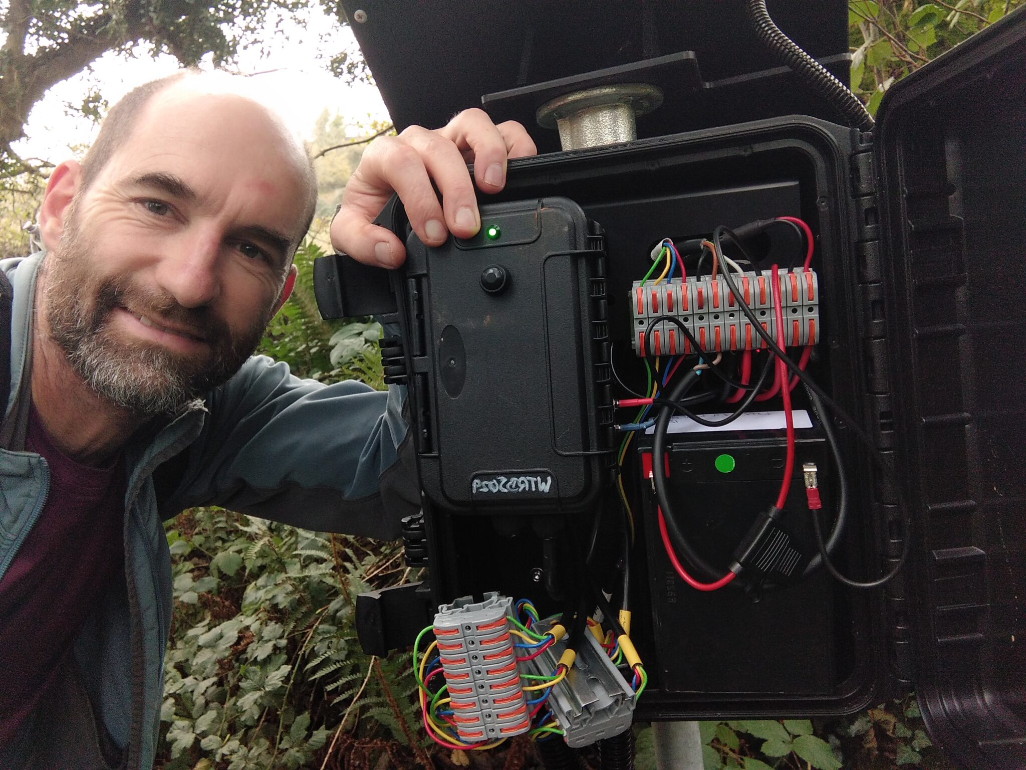
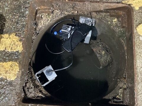
Our partners at the North Devon Biosphere have deployed an array of sensors to track changes in the river system and wider environmental health. These devices provide real-time data on water quality, water levels, and soil health across entire catchments, building a detailed picture of environmental and river conditions across North Devon. This sensor network helps identify emerging pressures on ecosystems – including pollution levels, changes in river flow, and signs of declining soil health – while supporting decision-making and guiding efforts to restore the natural environment. By monitoring conditions before and after, sensors can also track the performance of natural flood management interventions and identify their impact, in turn informing the the delivery of the most effective nature-based approaches.
Information is sent directly from the sensors to the Smart Biosphere platform (see below). While the current network focuses on the North Devon region, this sensor array has the potential to be scaled across the wider county and beyond, helping spot early signs of environmental stress, guide timely interventions, predict flood events, and ensure recovery efforts are targeted where they are most needed.
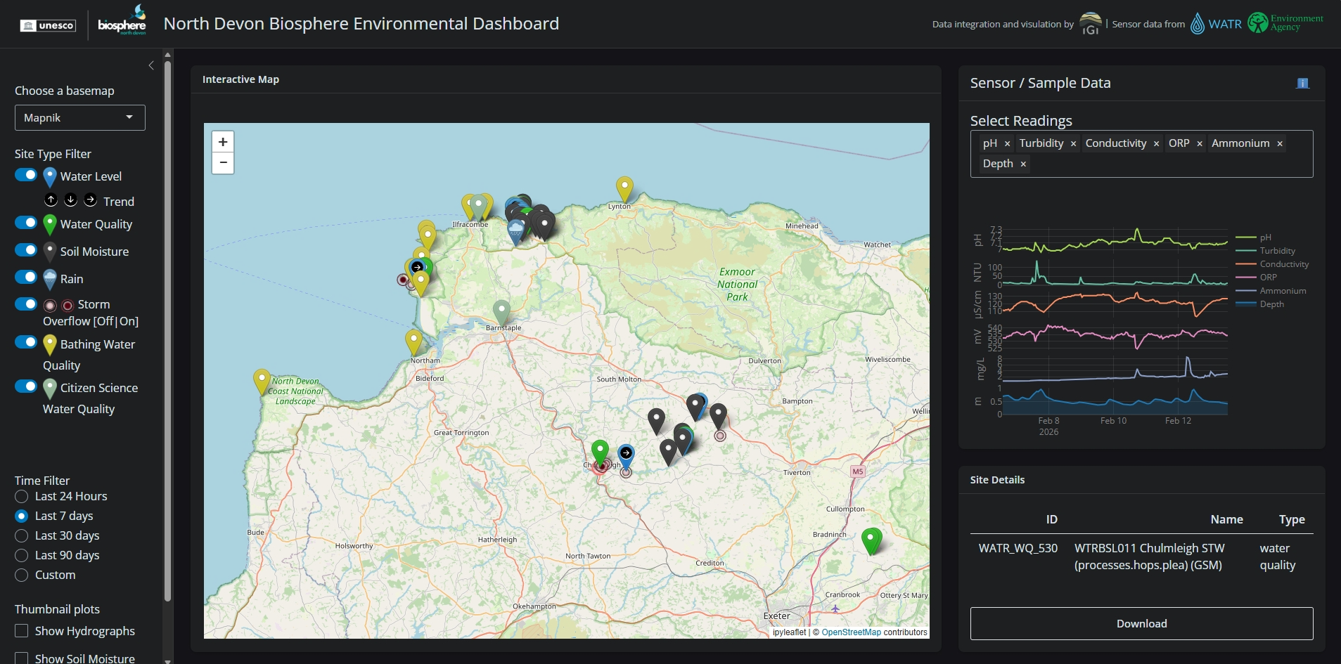
- The Smart Biosphere
North Devon Biosphere are also developing the Smart Biosphere platform – an innovative system that brings together live data from a wide range of sources and displays the information in a single, easy to navigate, and publicly accessible interface. Through live environmental monitoring, a comprehensive database, and richer understanding of environmental health and pressures, informed action for nature recovery, climate resilience, and flood management are supported at both local and policy levels.
You can explore the system and data through the interactive map or find out more on their explore page.
- Drone footage
Drone-captured images and videos are being gathered by our DRIP PhD researchers across several project sites. These tools have been invaluable for observing how river and stream flow pathways change over time following the installation of natural flood management interventions. They offer a powerful and visually clear way of showing how a landscape responds to heavy rainfall events, as well as revealing how natural flood management features and restored ecosystems help water move more slowly through the catchment.
In partnership with DRIP, the North Devon National Trust team delivered a stage zero river restoration scheme at Tattiscombe, the progress of which is being documented a year on by drones. The footage has captured the evolution of wetland habitat, increased water storage, the establishment of vegetation and wildlife, and a more free-flowing watercourse that displays a greater connection to its floodplain – clear and promising signs of the site’s transformation towards a healthier, more resilient ecosystem.
- Surface water flood forecasting system
DRIP is developing and trailing a new surface water flood forecasting system across several pilot communities. The system works by monitoring rainfall levels against set thresholds and sending automatic alerts to community members via WhatsApp when those thresholds are met or exceeded. This innovation is designed for communities vulnerable to rapid surface water flooding – where river or tidal forecasting cannot provide adequate warning. This early warning gives communities more time to activate their flood action plans and supports more pro-active and coordinated community‑led responses to flooding.
Read more about our surface water flood forecasting system on our dedicated page.
- Smart gullies and flood bollards
This is where infrastructure meets smart technology to boost flood resilience and strengthen community preparedness. The smart gully system uses sensors to measure water levels and detect silt build-up inside gullies, warning maintenance teams when blockages begin to form in advance of heavy rainfall. By ensuring these drainage points are functioning properly, the system improves the community’s ability to cope with sudden downpours, strengthening resilience to surface water flooding and supporting more pro-active and locally informed action.